

Village Creek, Arlington Texas – Paddle Trip
Back in October a friend and I went back to one of my favorite “local” paddling spots. Village Creek in Arlington Texas.
 |
| Village Creek, Arlington Texas |
You see when I lived in the Dallas Fort Worth area I didn’t always have time to head down to the hill country for a 1-2 day river trip. The Brazos is a nice river but was still over an hour away. Let’s not talk about the Trinity river (it literally has a smell). So when I needed a quick kayaking fix my friends and I would head over to Village Creek in Arlington TX.
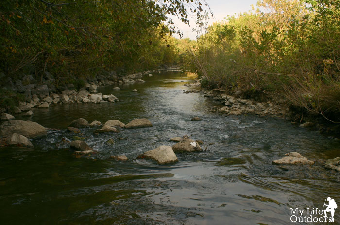
 |
| Looking Downstream just past the put-in |
Village Creek flows smack dab through the middle of the huge Dallas Fort Worth Area. Unlike most city streams the water quality is very acceptable without foul pollution type smells. Village Creek flows into Lake Arlington. During hot, dry spells, when most other Texas streams are starved for adequate flow levels, water is diverted from Cedar Creek Lake in order to keep Lake Arlington at recreational levels. When water is being pumped it is clear and cool and makes Village Creek one of the only Texas streams with enough water to paddle.
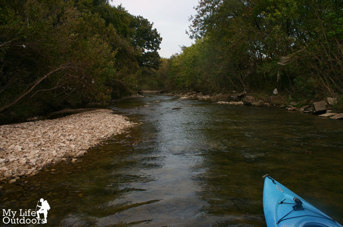
From the put in on Everman Kennedale Road (County Road 2051) Village Creek flows 3.2 miles to the head waters of Lake Arlington. The short distance makes this a perfect run for an after work quick fix. Once you are on the water you can barley tell that you are in the city at all. If it wasn’t for the sounds echoing down the river banks you might convince yourself you were miles away.
 |
| Under the Everman Kennedale Road (County Road 2051) Bridge Put In |

When you put in on Everman Kennedale Road (County Road 2051) look for the Village Creek pumping station just west of the bridge. A Tall Chain link fence that warns not to trespass may give you second thoughts. If I understand the law correctly, you are not trespassing as long as you stay under the bridge when you enter the water. The land under and alongside the bridge, and the creek itself, are public property.
If you want to play it safe, enter the stream from the other side. Don’t park in-front of the pumping station…instead park your car at least 100 feet from the bridge to avoid being ticketed.
 |
| Pumping Station |
The pumping station is where the diverted water form Cedar Creek Lake enters the stream. Water is mostly pumped during the hotter-drier periods of summer but may be pumping at any-time. Be sure to head the warning signs and keep to the opposite side of the creek until you pass the station. The water will start pumping without warning.
As you gently paddle downstream you will pass under thick vegetation that completely shades the span of the creek. In less than a third of a mile you come to the only “rapid” on village creek. S Turn Rapid is a narrow left then right bend in the stream. Trees hang low over S Turn Rapid and can sometimes catch floating logs and other debris creating a strainer. At low flow levels you will run ground before you reach S Turn Rapid. I have not seen S Turn at high flow but can see the potential for danger. When in doubt always scout.
 |
| S Turn Rapid at Low Water |
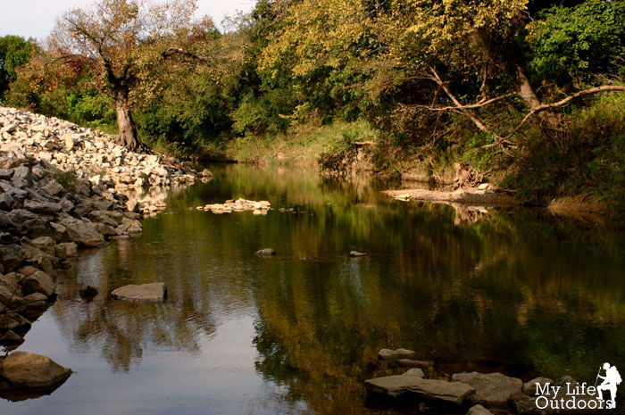
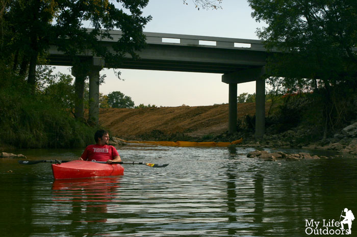
The rest of the creek pools and drops over shallow limestone all the way to Lake Arlington. Around 1.6 miles you will pass under an old train bridge. The previous train bridge supports are still in the stream bed and might cause a problem at higher flows. At 2.2 miles you will pass under W. Mansfield Hwy. Take out at 3.2 miles under I-20 on river left. Or, if you like, keep going along Lake Arlington to one of the public boat ramps.
Parking is available near the take-out at the old Apple-Jacks liquor store (permanently closed) on the west bound feeder road to I-20.
 |
| Train Bridge. The old bridge supports can be seen mid-stream below the bridge. |
This last trip the water level was really too low to paddle. This was my first trip outside of summer and the only trip where I had to get out and drag my boat. Most of the time I think you will find the water level at least adequate, if not perfect, for paddling.
GettingThere:
Put In: 32°38’18.30″N 97°14’31.90″W
Take Out: 32°40’9.24″N 97°13’52.92″W
S Turn Rapid: 32°38’31.44″N 97°14’34.47″W
Sorry, the comment form is closed at this time.
gumo
Nice.
Have you ever paddled the South Llano River near Junction and the state park near there? I know you would really enjoy it.
Steven
gumo,
I have and loved it. We paddled from the second 377 crossing to the State park. Spent the night at the park and then paddled into junction. I wish I could blog about it…but all my pictures from that trip are on a hard drive that has gone to meet its maker.
Anonymous
I lived in Arlington for over 10 years and never knew this was there. Thanks for this. Great post.